2.1 Mapping an Amazing Art Trail
Today was the first session at St Saviours school. We met our lovely year six class, many of whom had been to the Olympic Park. Initially we spent about half an hour having a great class discussion, looking at the images on screen and talking about the QEOP, mapping routes and experiencing art trails.
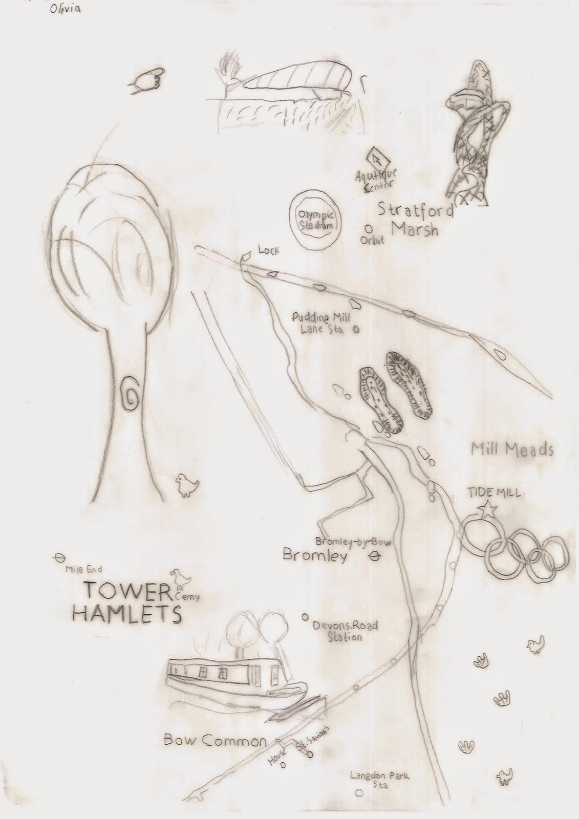
Once it felt that everyone had a reasonable understanding of the wider project ambitions we moved on to a mapping exercise, that would help us better understand the physical relationship between the neighbourhood around the school and the QEOP. We identified where the school was on the map and began by tracing that and other local buildings and streets. We then started tracing key Olympic buildings and trying to find interesting routes between the two sites. After removing the base map we were left with just our own maps, showing just the information we were interested in.
Next, it was time to get imagining! We wanted to start to decorate our maps and bring them to life! We also wanted to start thinking - very generally at this stage - what a great art trail might consist of. Everyone did something different; cutting and using collage techniques with images of the park as well as drawing and annotating directly onto the tracing paper maps. Some people started to trace off photos, merging the map lines with images of the QEOP.
Here are a few examples:
To finish this first session we came back together into a full class discussion and talked about the sort of things we had come up with. This was fantastic as we noticed certain themes emerging and where able to develop these as we talked with each other. The list that we finished up with will provide the basis of next session's work.
Subscribe to:
Post Comments (Atom)


No comments:
Post a Comment